I spent a fair bit of time last year putting together a huge book about Lady Elliot Island. It's a guide over 400 pages long and full of photography from my time living and working on the southernmost island of the Great Barrier Reef. It started out as a passion project, a way for me to learn more about the island. The further I got into it, the more I learned and I started to realise that finding a way to pass the information along would be a rewarding endeavour.
It was a challenging book to create in the year 2020, and not just because I've never published anything before. I'm immensely proud to have something at the end to show for the effort I put into it. The Kickstarter met it's goal and I was able to put the book into print.
The book is available to purchase now (ebook or hard cover) through my website here.
What is the book about?
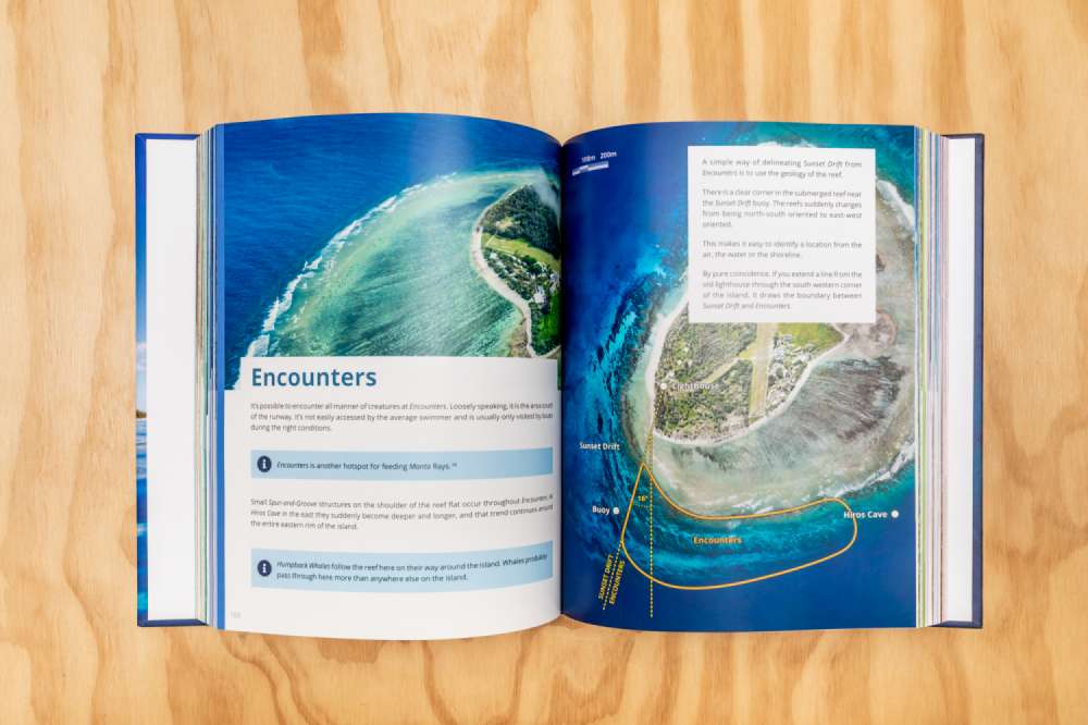
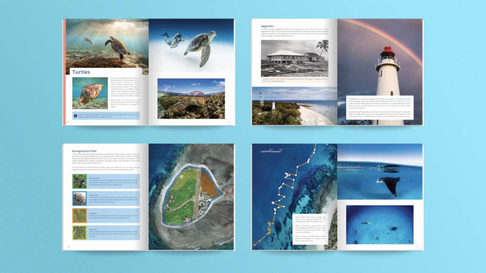
The Visual Guide to Lady Elliot Island is designed to be a comprehensive guide to lead you through Lady Elliot's greatest locations, uncertain history and hidden secrets. I've tried to compact as much of what I have learned about Lady Elliot into this book as possible. It's a Visual Guide, so it's complete with lots of images, diagrams and maps. I think it's the perfect companion for any trip to Lady Elliot Island.
Where is Lady Elliot Island?
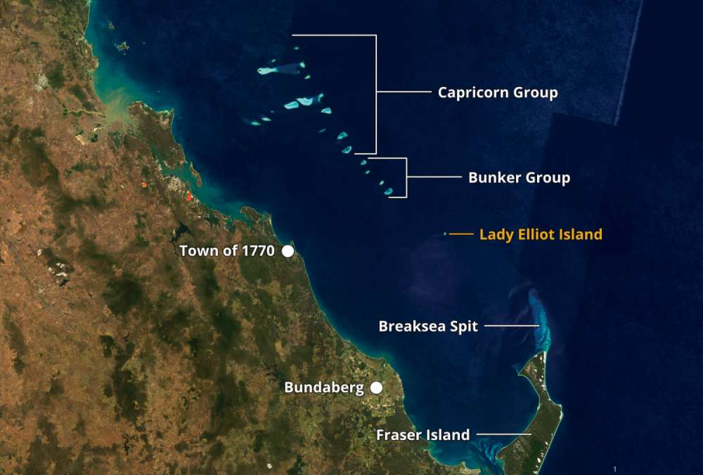
Lady Elliot Island is a tiny island at the bottom of the Great Barrier Reef. It's relative remoteness combined with a history of devastation has caused Lady Elliot to be largely forgotten. As a result, the island begs for exploration and discovery. It is increasingly seen as one of the most important wildlife sanctuaries within the Great Barrier Reef and has an interesting story of rejuvenation.
What is the purpose of this guide?
This guide is all about sharing as much of what I have learned as possible. When I started living and working on Lady Elliot, I found that knowing where to go, what to do, or how to get there was pretty confusing. Over the course of my two-and-a-half years there, I slowly learnt my way around the reef and the island. I learnt about the seasons and the locations, all of which allowed me to maximise my interactions with the wildlife – all while capturing photos.
My unique workload saw me employed in many different locations all around the island and as a result, I have a fair understanding of many aspects of Lady Elliot Island. I've spent hundreds of hours working in the grounds and forests, planting trees and maintaining pathways and I'm lucky enough to have spent hundreds of hours in the water. I know the place pretty well. I'm pleased to say I can easily navigate using nothing but the reef and sea floor.
I've explored the beaches and the island during the day and night. I've learnt where the turtles and mantas like to be, why the whales swim where they do, and even how to see coral spawning once a year. It's knowledge that I had to gain the hard way, but so incredibly useful. I want other people to be able to make use of what I know, instead of relearning everything from scratch all over again.
Why should I be interested in TVGTLEI?
This guide is pretty unique for Lady Elliot Island, it's probably even pretty special in the context of the length of the Great Barrier Reef. That might just be my own bias speaking though. It's a large collection of photographs, maps, facts and anecdotes that shows the state of the island in 2017-2020. I think it's a pretty interesting snapshot in time of Lady Elliot Island.
I started writing this guide because I simply wanted to know more about Lady Elliot than what I did. I snorkelled everyday and yet after a year, I could still barely name the locations on the reef. I'd hear the name of a place and forget it, or lose my bearings for where it was. Keeping track of all of it was impossible. It was commonplace. Some staff even who had worked there for years wouldn't be able to tell you the where a location was. It was frustrating.
When I went looking for information, it was never easy to find – and almost always contradictory. I sought to change that.
All the knowledge I was after already existed, but only inside other people's heads where I couldn't easily access or study it. All the existing maps were pretty useless. Aside from being inaccurate, they were also usually using oblique aerial photos that disguised many features of the reef and island. This made navigating using them practically impossible. Oftentimes, they did not correlate with the actual position of the physical buoys in the water.
Highly Detailed Mapping
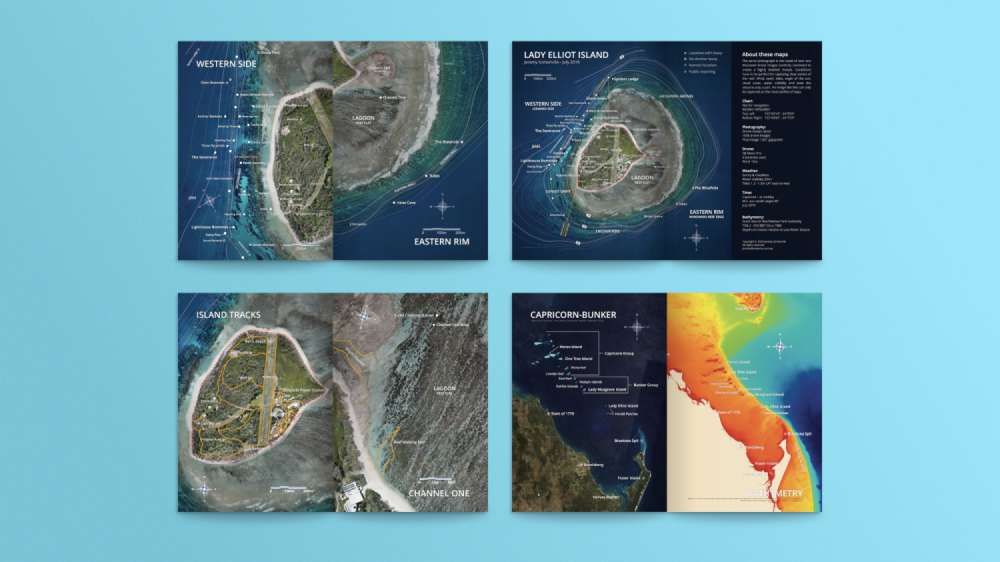
Right at the beginning of this project, I knew that in order for it to be useful, I would need a highly detailed map of the island, but also of the surrounding reef. I couldn't get enough resolution from existing aerial or satellite imagery so I looked for other solutions. I ended up using a relatively low-cost drone to map the island piecemeal, and stitched it together digitally. The special technique I developed for the merge resulted in an image far more detailed and pretty than I anticipated. I'm still absolutely stoked about the quality of this image. I have learnt a ton about Lady Elliot Island by simply studying this image at length.
Most importantly, this image gave the ability to see the reef I swam in everyday. I could, for the first time, link my snorkelling and diving experiences with the various locations of the reef and the relative position and distances between them. It was a bit of a Eureka moment for me, seeing this for the first time. I could now see the reasons why certain things happened where they did, and it led to a greater knowledge of the reef.
A Rewarding Experience
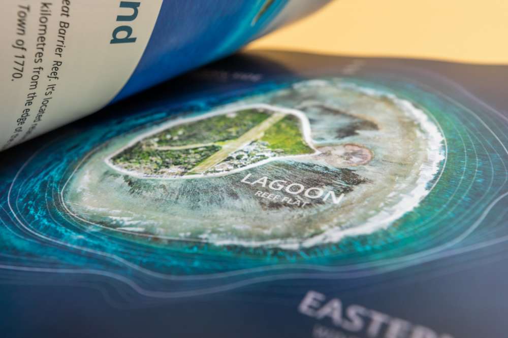
In the process of writing this guide I learnt so much about the island. The additional knowledge ultimately led to more rewarding experiences both in the water and on land. Putting the book together during the covid-ravaged year of 2020 had it's unique challenges but it was a rewarding experience and I'm quite proud of the final result.
When it came to the printing, I knew I wanted the images to look nice. This ruled out a lot of the cheap magazine papers that would have made the book both smaller, lighter and more economical – but these were sacrifices I was willing to make in order to raise the quality of the printing. Seeing them in print is quite exciting and I'm stoked with the final result.
Uniqueness
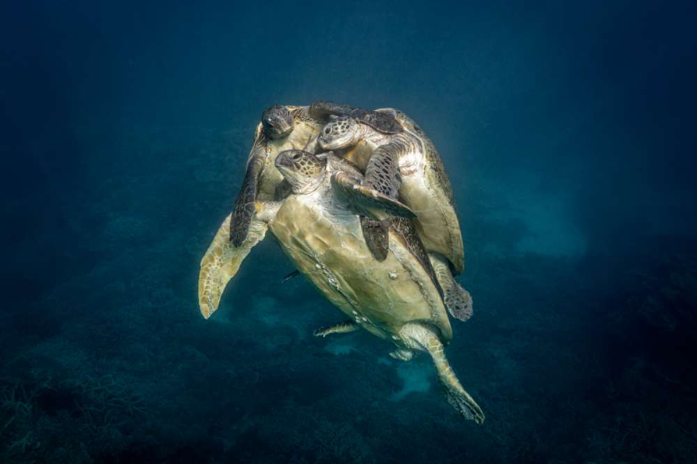
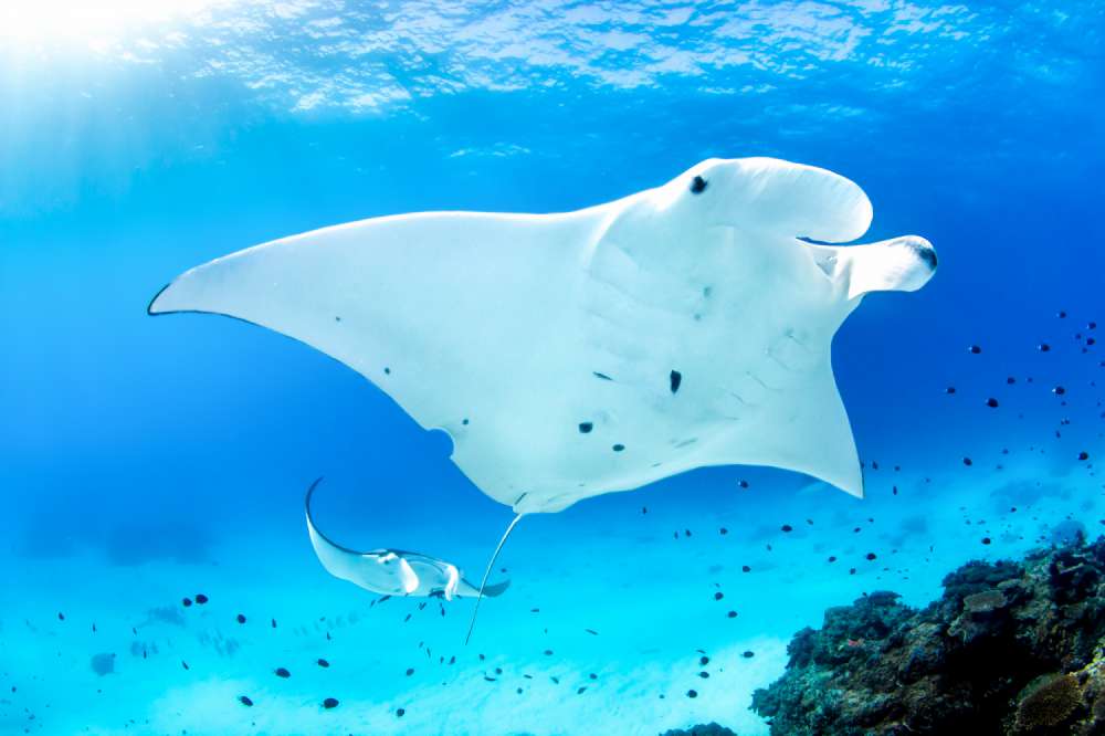
I'm lucky enough to have seen some pretty amazing things in the water around Lady Elliot Island. As a result, I have a heap of images that are in many ways, one-of-a-kind.
Available Online
The book is available online here, and if you want to get a feel for the book, check it out on Google Books.
