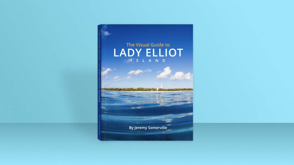
The Visual Guide to Lady Elliot Island is a 400+ page, comprehensive guide to the southernmost island of the world heritage Great Barrier Reef. The book is a massive compilation of photos, diagrams and maps; designed to lead you through Lady Elliot's greatest locations, uncertain history and hidden secrets. It's the perfect companion to any trip to Lady Elliot Island. Explore by land, sea and air like never before.
It's just launched on Kickstarter. You can grab a copy there.
About Lady Elliot Island
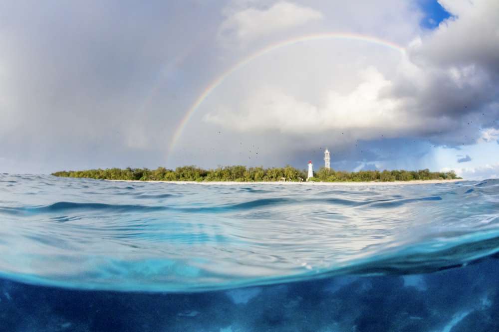
Lady Elliot Island is the southernmost island in the World Heritage Great Barrier Reef Marine Park. Its relative remoteness, combined with its devastation from mining, caused Lady Elliot to be largely forgotten. As a result, the island begs for exploration and discovery. It is increasingly seen as one of the most important wildlife sanctuaries within the Great Barrier Reef and has a story of rejuvenation that is one of the most important stories of the modern era.
What is its purpose?
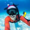
One of the things that makes visiting Lady Elliot Island such a thrill is it is relatively unexplored and poorly understood. When I started living and working on Lady Elliot, I found that knowing where to go, what to do, or how to get there, was pretty confusing. Over the course of my two-and-a-half years there, I slowly learnt my way around the reef and the island. I learnt about hidden locations, the best times-of-year and how to maximise my interactions with marine and bird life – all while capturing photos.
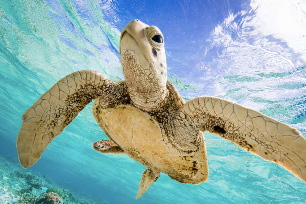
My unique workload saw me employed in many different locations all around the island and as a result, I have a fair understanding of many aspects of Lady Elliot Island. I've spent hundreds of hours working in the grounds and forests, planting trees and maintaining pathways. I've spent hundreds of hours in the water and can navigate using nothing but the reef and sea floor. I've explored the beaches and the island at nighttime, and could walk blindfolded from one side of the island to the other. I've learnt where the turtles are, where the mantas like to be, why the whales swim where they do, and even how to see coral spawning once a year.
This guide is about sharing as much of what I have learnt as possible.
About The Guide
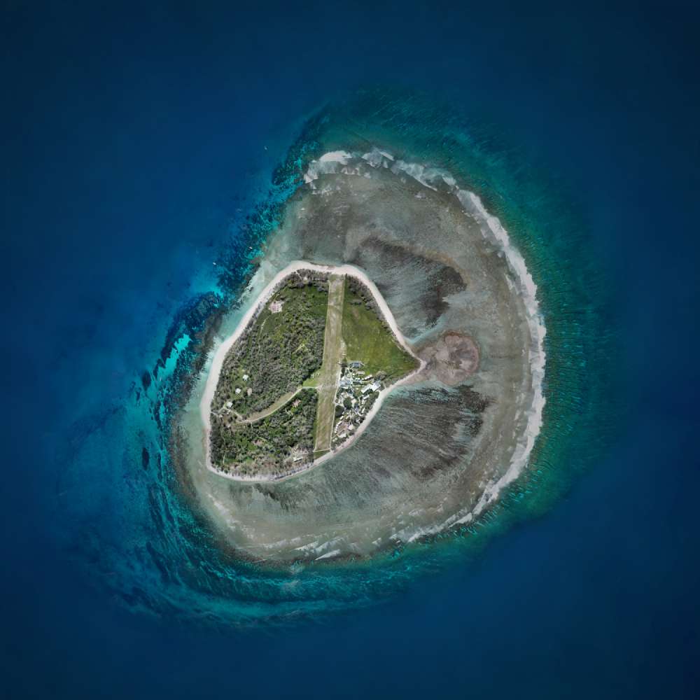
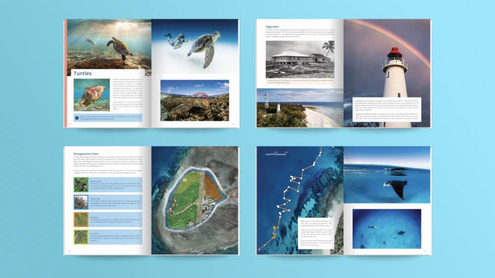
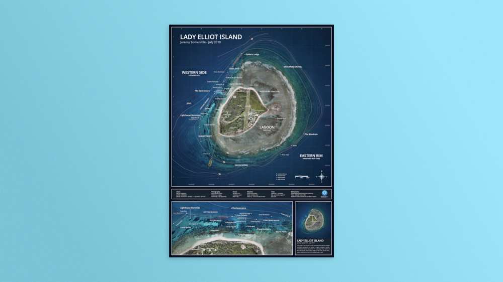
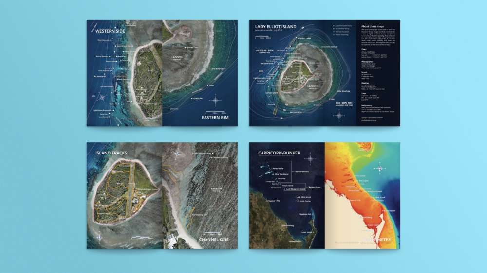
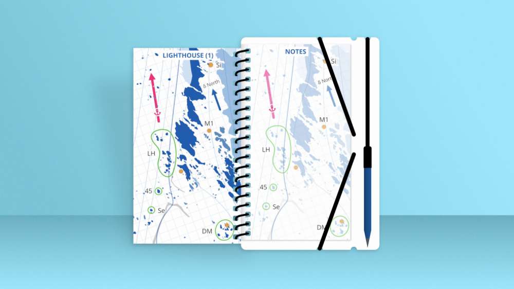
The Visual Guide to Lady Elliot Island is a huge book. At over 400 pages, and containing over 600 images, this book is the most comprehensive guide to Lady Elliot Island ever created. Explore the island – from its formation, discovery, decimation and recovery, to its wildlife behaviours, seasonal events, snorkelling & diving maps, and even power generation. You'll learn when, where and how to make the most of your time on Lady Elliot Island. Do you want to swim with turtles, dolphins, sharks or manta rays? This guide can show you how to do that in the simplest possible way. Lady Elliot's least known, secret, and most impressive locations are revealed in highly detailed aerial drone maps for the first time. This large 8x10" book feels as comfortable on a coffee table as it does in your information library, or with your favourite ocean photographs.
Kickstarter Rewards
Beyond the book itself, there are a number of rewards available at different tiers. Let's have a quick look at them below:
How to Buy?
The book is currently in the crowdfunding phase. You can pledge different amounts on Kickstarter and for different rewards. Head over there to pre-order your copy.